LiDAR, Aerial Surveying & Mapping

CASA certified UAV

Advanced Geospatial Surveying Technologies

MinStaff Survey enhances its traditional surveying methods by incorporating UAV (Unmanned Aerial Vehicle) systems, offering tailored solutions that cater to diverse sectors, including mining, agriculture, construction, real estate, advertising, infrastructure, government and disaster response. These versatile aerial technologies allow for cost-effective data collection, improved accuracy, and efficient assessment across various industries.

Aerial Surveying & Mapping

Aerial surveying and mapping provides an aerial perspective of the surveyed area, allowing for a broader view of the landscape. This perspective is valuable for large-scale mapping and monitoring projects.

Drone Surveying

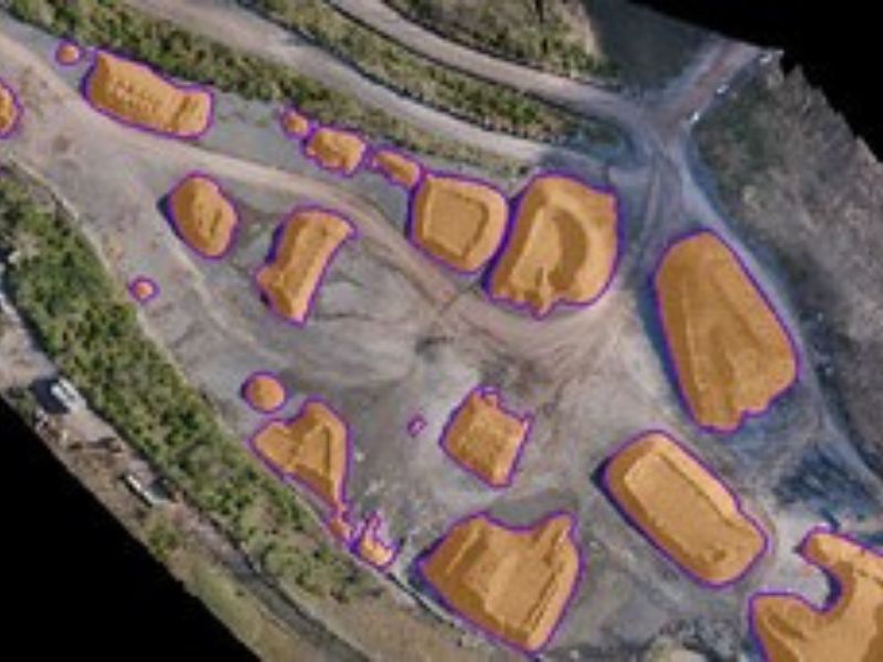
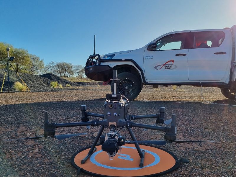
A drone survey involves the use of unmanned aerial vehicles (UAVs or drones) equipped with various sensors, such as cameras, LiDAR, or multispectral imaging systems. Drones capture data from the air by flying over the area of interest. They are capable of capturing aerial imagery and LiDAR point clouds, which can be used to create 2D and 3D maps and models.

LiDAR Surveying

LiDAR surveying is a remote sensing technique that uses laser light pulses to measure distances and create detailed 3D representations of the Earth's surface and objects, enabling highly accurate topographic mapping and environmental assessment.

LiDAR, Aerial Surveying & Mapping Projects We've Completed

Reliable aerial and drone surveying services throughout Australia