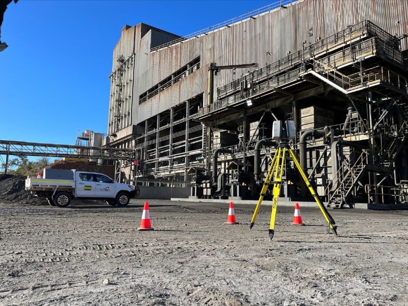
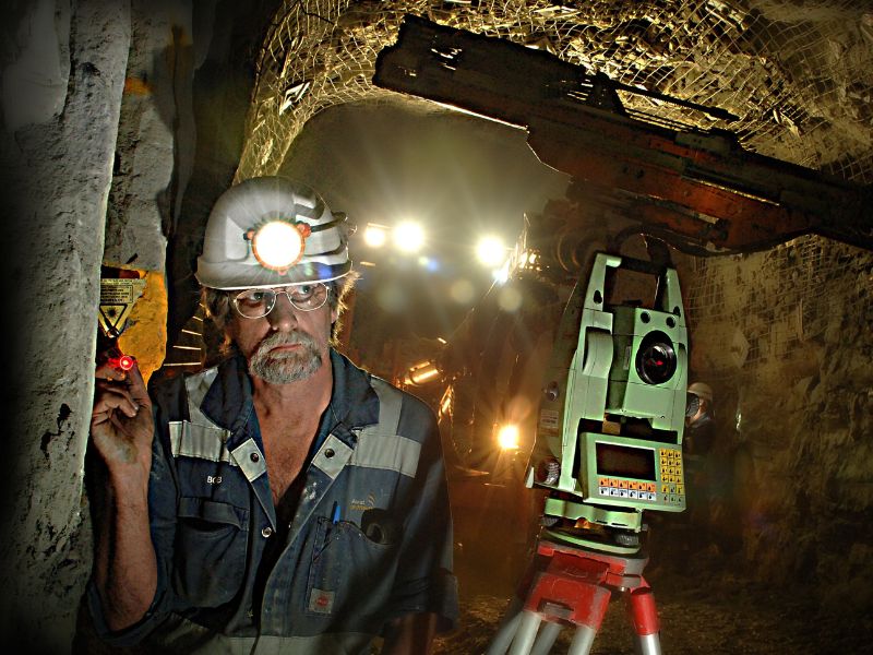
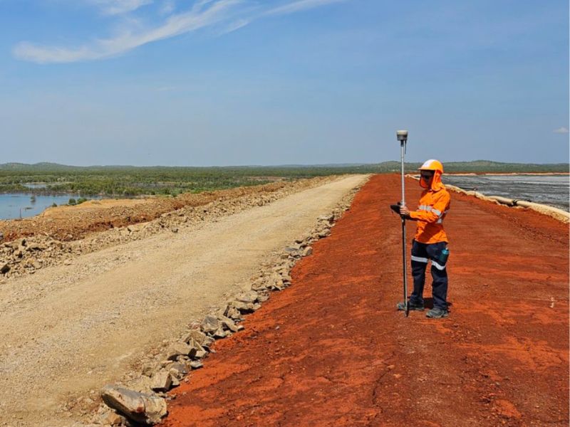
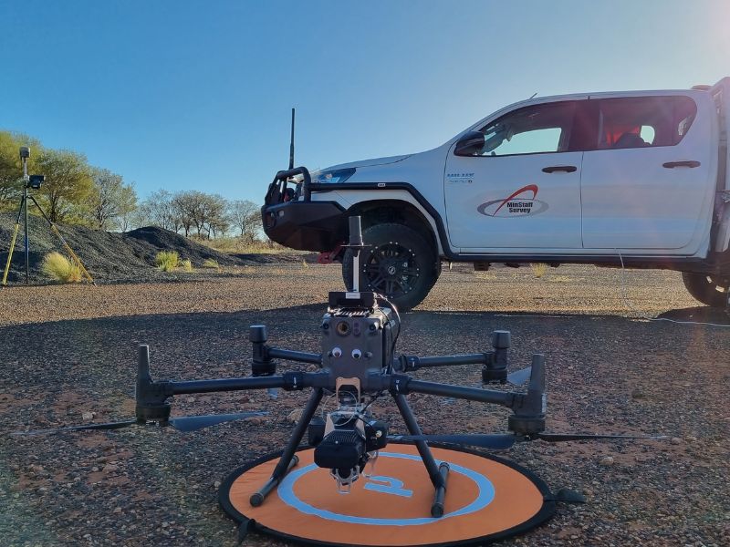
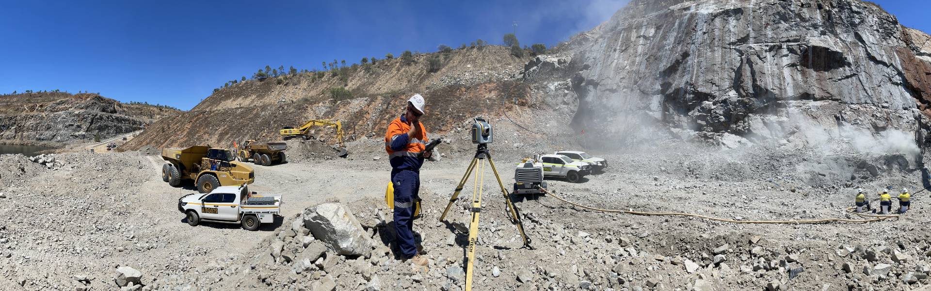
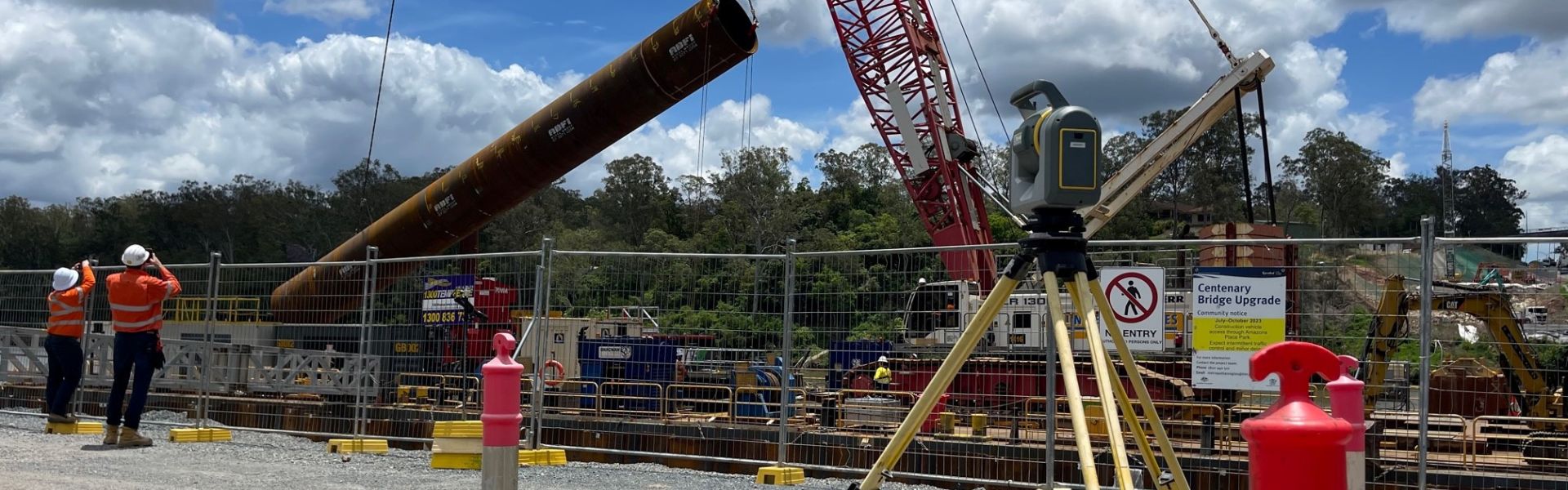
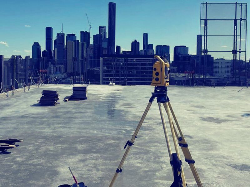
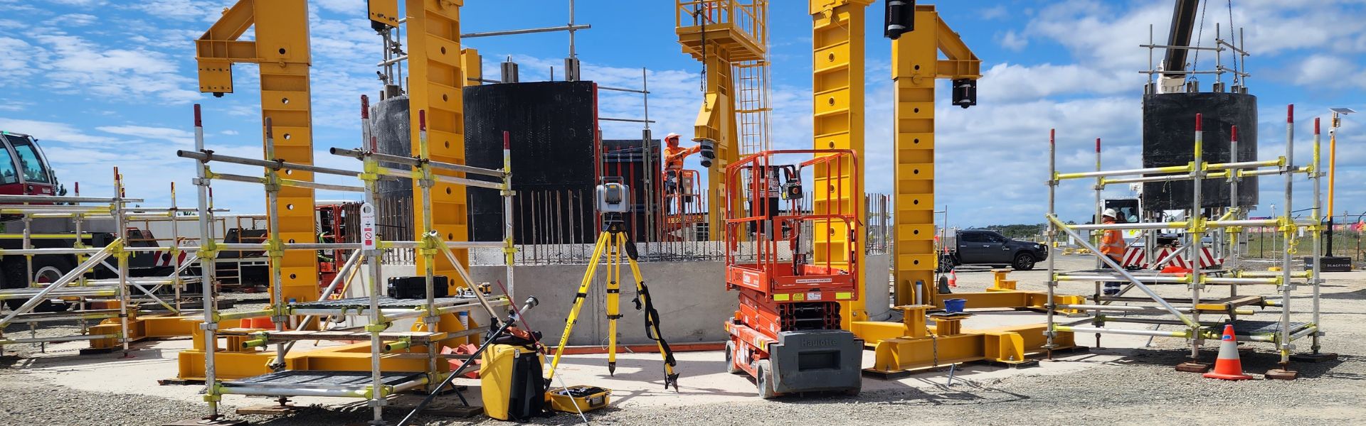
MinStaff Survey provides surveying services across a broad range of projects in civil, construction, cadastral, mining and engineering.
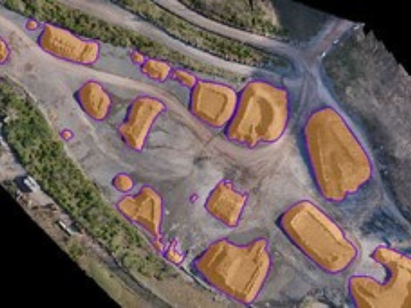
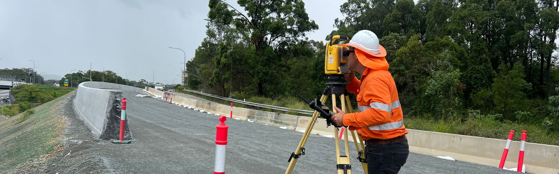
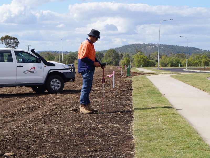
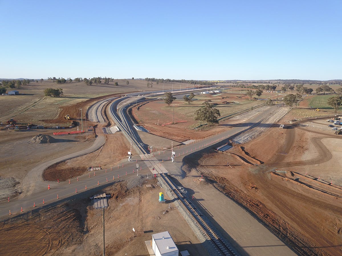
View details of recent projects below.