Engaged by the Department of Transport and Main Roads, MinStaff Survey conducted RPAS Operations, per Civil Aviation Safety Authority rules and regulations under Remote Operators Certificate (ReOC.6863) by licenced (RePL) Remote Pilot Operator for a 13.4km2 area of flood catchment, encompassing Ingeberry Road crossing.
SCOPE OF WORKS
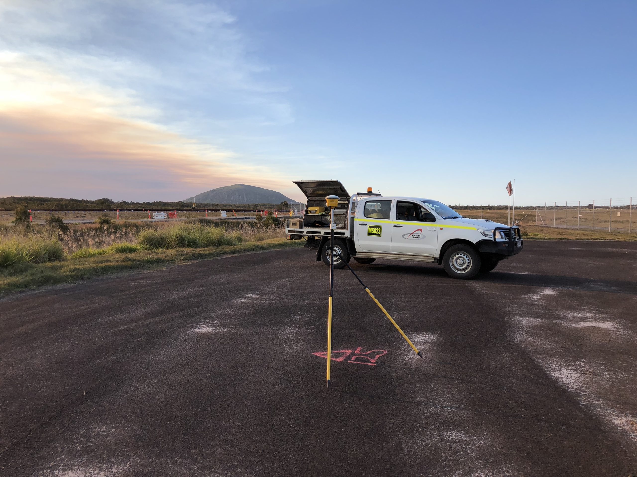
Validate/Connect to TMR supplied survey Control Benchmarks/Targets on site
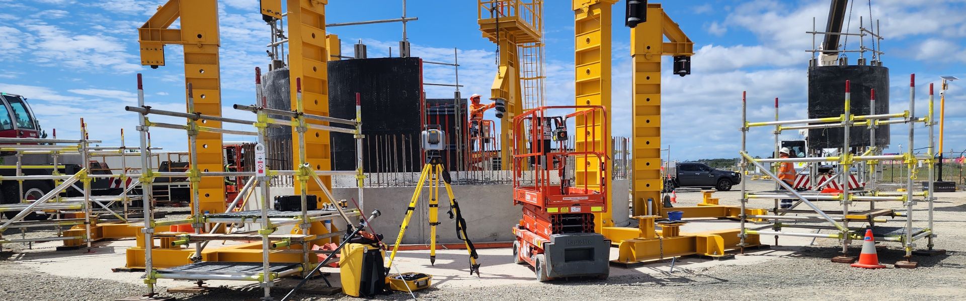
Installation of GCP’s
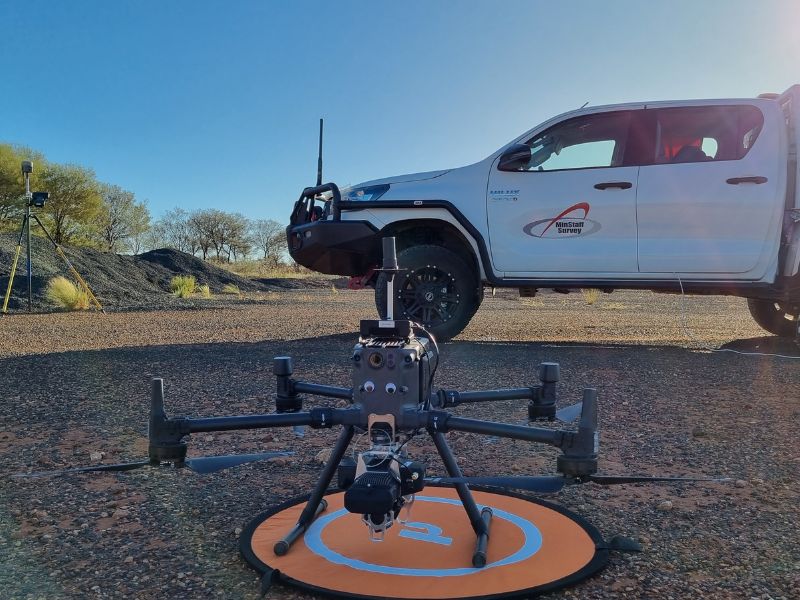
Complete RPAS survey over the subject site Utilizing Geocue TrueView 635 3D Imaging System Sensor utilising a DJI M300 RPAS System to the agreed accuracies (Vertical +/- 0.100m @ 95% confidence Interval & Horizontal +/- 0.050m @ 95% confidence Interval) with colour imagery to a resolution of 1.5cm GSD.
Capture of 24,300 images
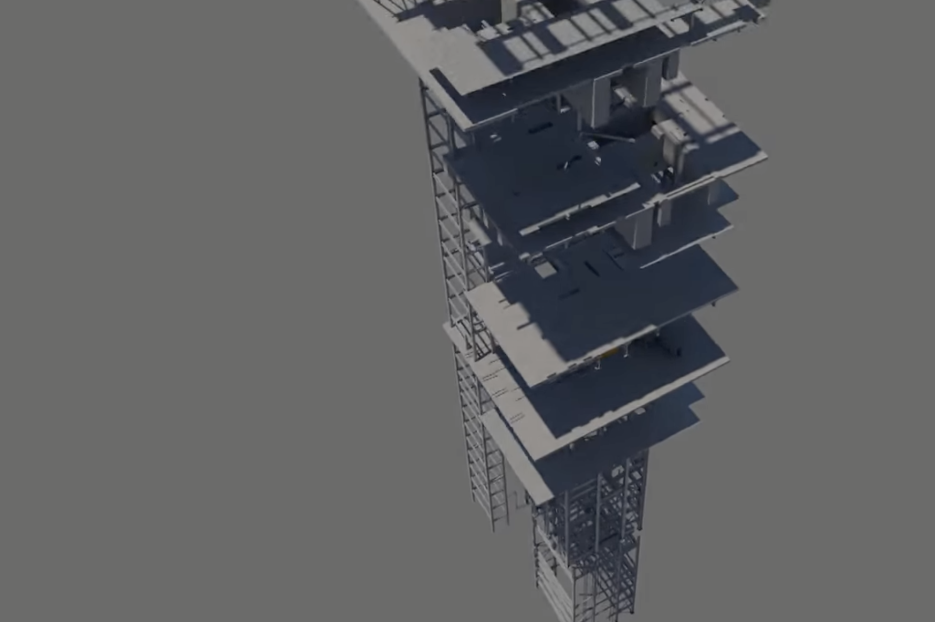
Survey Reductions, Post Processing to produce a Point Cloud with all standard attributes, a DEM with 1m grid spacing and imagery.